A little fresh air · Quinte West
Trails & walks Find a paved waterfront stroll, a walk under the trees or a boardwalk through the wetland.
Find a public washroom Borrow a park pass Find a trail All trails Paved Woodland Boardwalk
14 trail guides. Check the operator for current closures before heading out.
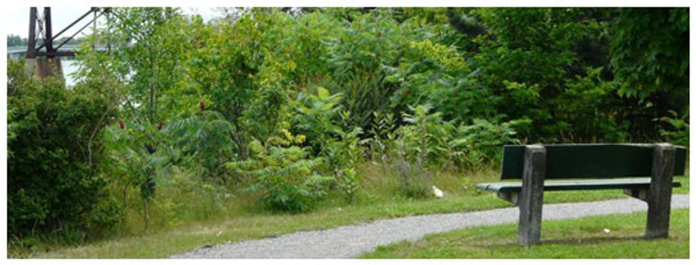
Jack Lange Memorial Trail · Ontario Trails Council · Photo source Trenton waterfront
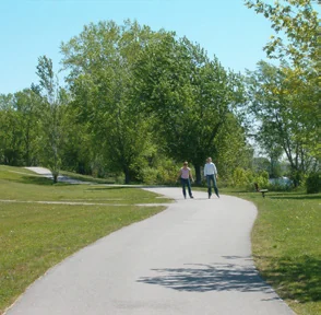
Jack Lange Memorial Walkway Distance 3 km listed by the City
Surface Crushed stone
A riverside walk with places to pause and watch the water. Start at the Front Street boat launch and follow the Trent River toward Lock 1.
Trail details & getting there The City lists a 3 km trail from the boat launch at 441 Front Street toward Lock 1. Choose your own turnaround point for a shorter outing. Allow for the return to your starting point. Current closures, washroom availability and accessibility have not been confirmed. Directions go to the City-listed boat launch access, not the full walking route.
Trail operator details City of Quinte West · trail details; Ontario Trails Council · photos · Checked 2026-10-20. Photos show the place or nearby setting; check captions. They do not show today’s conditions.
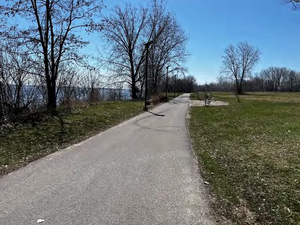
Millennium Trail at Creswell Drive · A.S.I., 2023 (City of Quinte West report, plate 28) · A.S.I. / City of Quinte West report Quinte West shoreline
Quinte West Millennium Trail Distance Length not confirmed
Surface Surface not confirmed
Explore an off-road route along the shore, identified in the Waterfront Trail guide as suitable for family walking and cycling.
Trail details & getting there Off-road shoreline route Do not confuse it with the separate Prince Edward County Millennium Trail. Surface, distance and current access need confirmation. This opens a place search. Confirm the local shoreline section before navigating; Google may show the separate Prince Edward County trail.
Trail operator details Waterfront Regeneration Trust · Checked 2026-10-20. Photos show the place or nearby setting; check captions. They do not show today’s conditions.
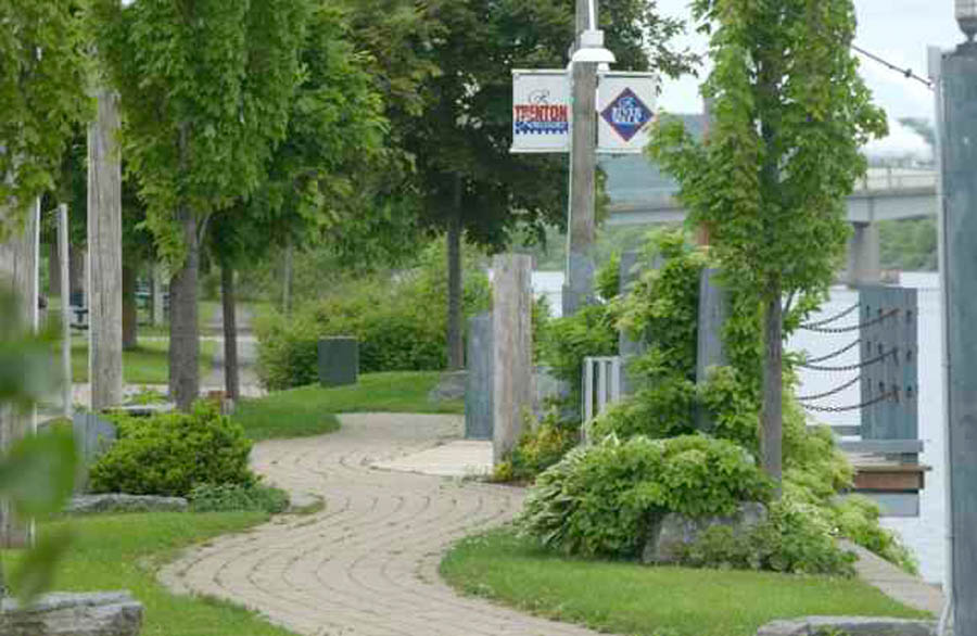
Quinte West waterfront · Waterfront Regeneration Trust · Photo source Quinte West
Great Lakes Waterfront Trail — Quinte West Distance 18 km wider route
Surface Mixed paths and roads
Explore the local section in manageable pieces. The guide lists an 18 km route, with both waterfront paths and road connections.
Trail details & getting there 18 km refers to the wider route, not a continuous off-road walk. The guide identifies a gap toward Belleville and road sections with traffic hazards. Choose a suitable section and check the official route before setting off. Directions go to Bayshore Park, a staging area listed by the Waterfront Regeneration Trust. This does not map the entire trail.
Trail operator details Waterfront Regeneration Trust · Checked 2026-10-20. Photos show the place or nearby setting; check captions. They do not show today’s conditions.
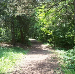
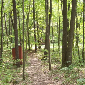
Hanna Park woodland path · City of Quinte West trail guide (2024) · City of Quinte West Trenton
Hanna Park nature trails Distance 1.9 km network
Surface Woodland paths
A woodland outing close to town, with marked paths through the trees.
Trail details & getting there The guide lists walking, cycling and ungroomed winter activities. Choose a signed path and allow time to return to the park entrance. Directions go to the listed park location. Check the entrance for your chosen trail section.
Trail operator details Quinte West trail guide · Checked 2026-10-20. Photos show the place or nearby setting; check captions. They do not show today’s conditions.
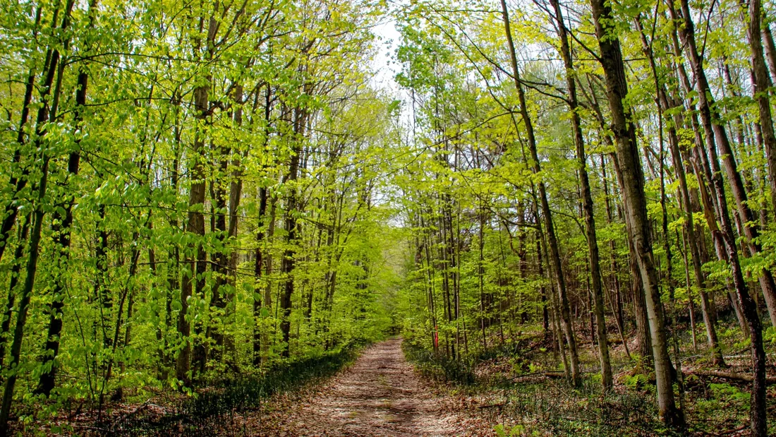
Lower Trent Trail · Ontario Trails Council · Photo source Glen Miller · Batawa · Frankford · Glen Ross
Lower Trent Trail Distance 17 km rail trail
Surface Limestone granular
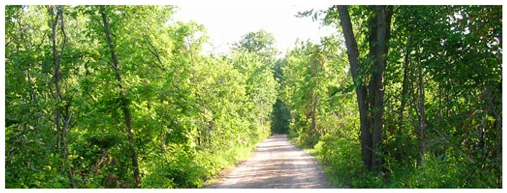
Choose a section of this former railway corridor for a walk or bike ride.
Trail details & getting there The full route connects Glen Miller and Glen Ross. Listed access areas include Lock Road, Bleasdell Boulder, Plant Street / Perry Drive in Batawa, and Mill Street in Frankford. Confirm the entrance in Google Maps before travelling.
Trail operator details Quinte West trail guide · Checked 2026-10-20. Photos show the place or nearby setting; check captions. They do not show today’s conditions.
Bleasdell Boulder Trails · Ontario Trails Council · Photo source Glen Miller
Bleasdell Boulder Conservation Area Distance 1.5 km loop + 0.6 km link
Surface Crushed stone
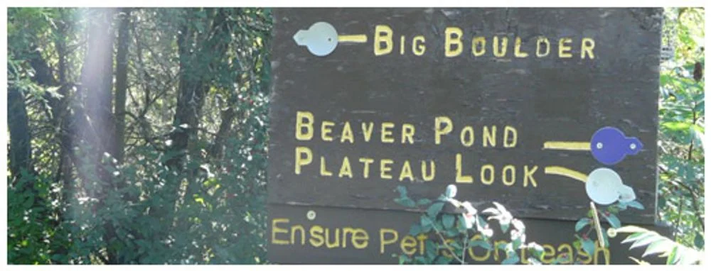
Follow a short woodland loop to the enormous glacial boulder.
Trail details & getting there The guide identifies a separate 0.6 km connection to the Lower Trent Trail. Use the conservation-area entrance and follow signs to the boulder. Confirm the entrance in Google Maps before travelling.
Trail operator details Quinte West trail guide · Checked 2026-10-20. Photos show the place or nearby setting; check captions. They do not show today’s conditions.
Frankford Tourist Park shoreline · Madison Shannon / City of Quinte West trail guide (2024) · Madison Shannon / City of Quinte West Frankford
Frankford Tourist Park shoreline trail Distance 600 m shoreline trail
Surface Surface not confirmed
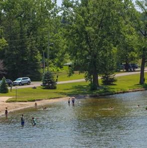
A short riverside walk through the park toward Lock 6.
Trail details & getting there The guide describes a continuation along the canal toward the Frankford Street bridge. Camping, beach and other seasonal facilities have separate availability and rules. Confirm the entrance in Google Maps before travelling.
Trail operator details Quinte West trail guide · Checked 2026-10-20. Photos show the place or nearby setting; check captions. They do not show today’s conditions.
Bata Island river and walkway · City of Quinte West trail guide (2024) · City of Quinte West Frankford
Bata Island Trail Distance Loop lengths not confirmed
Surface Forest trails
Cross the access walkway to explore wooded island paths and small meadows.
Trail details & getting there The entrance is on North Trent Street opposite Huffman Road. Follow the signed paths; current walkway access and conditions need checking. Access notice reviewed October 24, 2026: North Trent Street construction near Huffman Road was scheduled through October, with the wider project expected to finish in late fall. Check the City’s current road notices and signed access before travelling. The trailhead is near the North Trent Street and Huffman Road construction area. Confirm current road access and the signed entrance before travelling.
Trail operator details Quinte West trail guide · Checked 2026-10-24. Photos show the place or nearby setting; check captions. They do not show today’s conditions.
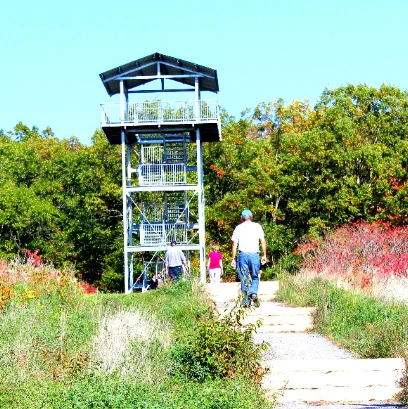
Sager lookout tower and approach · City of Quinte West trail guide (2024) · City of Quinte West North Quinte West
Sager Conservation Area Distance 1 km listed by the City
Surface Steep hill and tower steps
A climb through the woods to a lookout over the surrounding countryside.
Trail details & getting there The ascent is steep, with additional steps to the viewing tower. This is not a step-free outing. Check conditions and tower access before travelling. Directions go to the listed park location. Check the entrance for your chosen trail section.
Trail operator details City of Quinte West · trails · Checked 2026-10-20. Photos show the place or nearby setting; check captions. They do not show today’s conditions.
Sidney Conservation Area · Quinte Conservation · Photo source Sidney
Sidney Conservation Area Distance Network length not confirmed
Surface Natural woodland paths
Explore pine woodland, open areas and mixed forest around small creek branches.
Trail details & getting there The trail guide identifies the entrance at 379 Airport Road. Winter ski trails are not groomed; verify parking fees and current access with the manager. Directions go to the listed park location. Check the entrance for your chosen trail section.
Trail operator details Quinte West trail guide · Checked 2026-10-20. Photos show the place or nearby setting; check captions. They do not show today’s conditions.
Hollinger Park woodland trail · City of Quinte West trail guide (2024) · City of Quinte West Sidney
Hollinger Park trails Distance Network length not confirmed
Surface Hilly woodland paths
A wooded park with marked trails and a meadow for a quieter outing.
Trail details & getting there The guide places this 25-acre park on Bird Road South. Expect hills. Check the entrance and current conditions before choosing your route. Confirm the entrance in Google Maps before travelling.
Trail operator details Quinte West trail guide · Checked 2026-10-20. Photos show the place or nearby setting; check captions. They do not show today’s conditions.
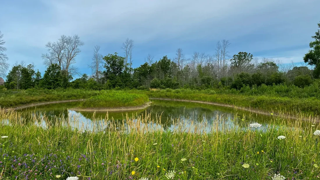
Potter’s Creek North Conservation Area · Quinte Conservation · Photo source Between Trenton and Belleville
Potter’s Creek Conservation Area Distance North: about 7 km network; south: short loop
Surface North: natural trails; south: paved loop
Choose from paths through former farmland, woodland and waterfront habitat.
Trail details & getting there The current operator lists about 7 km of trails at the north conservation area; this is a network total, not one loop. The south conservation area at 2056 Old Highway 2 has a separate short paved waterfront loop. Choose the north or south entrance for your outing. Dogs must stay leashed; check current conditions and parking information with the operator. $8 daily parking per vehicle; $14 for a bus or vehicle with trailer. Check the operator’s current parking page for payment options.
Directions go to the north entrance. For the short paved waterfront loop, use the separate south entrance at 2056 Old Highway 2.
Trail operator details Quinte Conservation · Checked 2026-10-24. Photos show the place or nearby setting; check captions. They do not show today’s conditions.
Centennial Park waterfront path · City of Quinte West trail guide (2024) · City of Quinte West Trenton
Centennial Park waterfront trail Distance 2 km in the guide
Surface Paved
A paved waterfront walk through the park with a connection toward downtown.
Trail details & getting there The park has several activity areas, so choose the entrance closest to your plans. The guide lists seasonal facilities; availability is not confirmed. Washrooms, parking & visiting details
Directions go to the listed park location. Check the entrance for your chosen trail section.
Trail operator details Quinte West trail guide · Checked 2026-10-20. Photos show the place or nearby setting; check captions. They do not show today’s conditions.
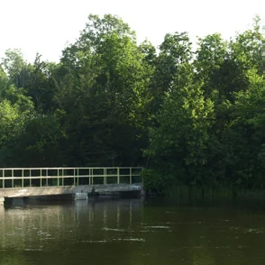
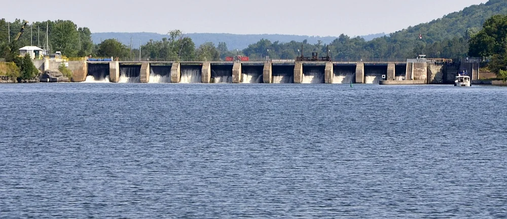
Trent River below the Batawa dam and locks; riverfront setting · Richard apple / Wikimedia Commons (converted to WebP) · Richard apple / Wikimedia Commons · CC BY-SA 3.0 · displayed cropped Batawa
Batawa Riverfront Trail Distance 2 km loop
Surface Surface not confirmed
A riverside loop connecting with the Lower Trent Trail and other Batawa paths.
Trail details & getting there The trail guide describes a multi-use loop along the Trent River. Confirm the signed trailhead and the particular section you intend to walk. Confirm the entrance in Google Maps before travelling.
Trail operator details Quinte West trail guide · Checked 2026-10-20. Photos show the place or nearby setting; check captions. They do not show today’s conditions.