A little fresh air · Belleville
Trails & walks Find a paved waterfront stroll, a walk under the trees or a boardwalk through the wetland.
Find a public washroom Borrow a park pass Find a trail All trails Paved Woodland Boardwalk
8 trail guides. Check the operator for current closures before heading out.
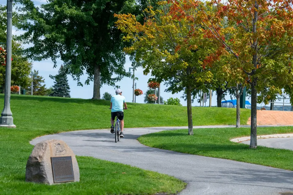
Kiwanis Bayshore Trail beside the Bay of Quinte · City of Belleville Belleville waterfront
Kiwanis Bayshore Trail Distance About 2.75 km
Surface Paved and lit
Setting waterfront · urban park
Walk beside the Bay of Quinte, with marina views and park stops along the way.
What to expect Bay shoreline Marina and boat-launch areas Nearby playground and washrooms; availability varies Access: Paved urban trail. Check the City’s access information if you need step-free access.
Trail details & getting there Part of the Lake Ontario Waterfront Trail. A linear outing: allow for your return or choose a shorter turnaround. Where to start Kiwanis East Bayshore Park — 21 Keegan Parkway, Belleville Directions lead to the listed park entrance. Follow the operator’s trail map and signs for your chosen route.
Official trail map Trail operator details City of Belleville · Checked 2026-10-22. Photos show the place or nearby setting; check captions. They do not show today’s conditions.
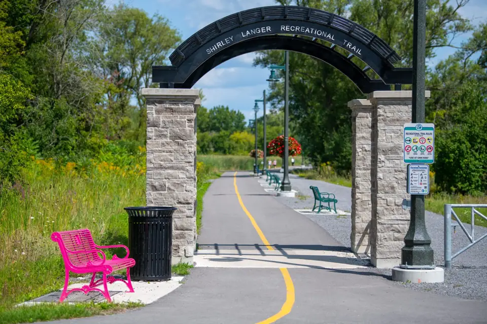
Shirley Langer Trail · City of Belleville East Belleville waterfront
Shirley Langer Trail Distance About 1 km
Surface Paved multi-use trail
Setting waterfront · urban park
A paved waterfront connection continuing east from Kiwanis Bayshore Trail.
What to expect Paved shared-use path Connection to the east end of Bayshore Trail Access: Paved shared-use path. Check the City’s access information for entrance conditions.
Trail details & getting there City overview lists about 1 km; the 2026 map labels 1.08 km. Where to start Shirley Langer Recreational Trail — 77 Herchimer Avenue, Belleville Directions lead to the listed park entrance. Follow the operator’s trail map and signs for your chosen route.
Official trail map Trail operator details City of Belleville · Checked 2026-10-22. Photos show the place or nearby setting; check captions. They do not show today’s conditions.
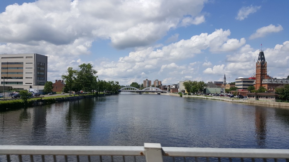
Moira River beside Belleville City Hall, July 2017; downtown riverfront context. · Jangg8962 · CC BY-SA 4.0 · displayed cropped Downtown Belleville
Parrott Riverfront Trail Distance About 1.6 km
Surface Paved and lit
Setting riverfront · downtown
Follow the Moira River through downtown, with shops nearby and a pedestrian bridge along the route.
What to expect Moira River views Downtown access Pedestrian bridge Access: Listed as wheelchair-accessible by Doors Open Ontario. Check for temporary closures before your visit.
Trail details & getting there Connects north to Riverside Trail and south toward Zwick’s and Bayshore trails. Where to start Front and Station streets access — 9 Station Street, Belleville City-listed riverfront access — 160 Front Street, Belleville Directions lead to the listed park entrance. Follow the operator’s trail map and signs for your chosen route.
Official trail map Trail operator details City of Belleville · Checked 2026-10-22. Photos show the place or nearby setting; check captions. They do not show today’s conditions.
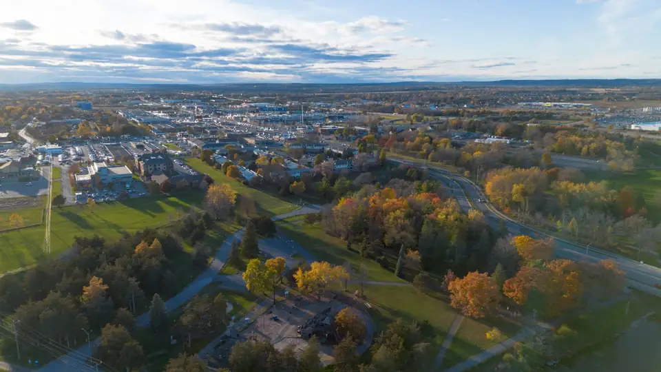
Riverside Park and its trails, viewed from above · City of Belleville Riverside Park, Belleville
Riverside Park Trail Distance About 5.25 km
Surface Partially paved; some granular segments
Setting riverfront · parkland
A longer river-side park outing with playground and sports areas along the Moira River.
What to expect Moira River corridor Sports and playground areas Seasonal facilities Access: Includes granular sections as well as pavement; choose a paved section for a smoother walk.
Trail details & getting there The City confirms a partially paved route. City GIS records both paved and granular Riverside segments. The City announced power-line work from September 14, 2026, expected to last about eight weeks. West Riverside’s splash pad and permanent washrooms closed for the season; the pirate-ship playground remained open in daylight, with a portable toilet provided. Check current City notices before visiting. Where to start West Riverside Park — 344 Moira Street East, Belleville East Riverside Park — 300 Cannifton Road, Belleville Directions lead to the listed park entrance. Follow the operator’s trail map and signs for your chosen route.
Official trail map Trail operator details City of Belleville · Checked 2026-10-24. Photos show the place or nearby setting; check captions. They do not show today’s conditions.
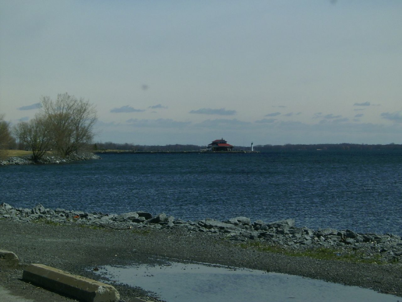
View from Zwick’s Park toward Meyers Pier, April 2006. · Robert Taylor from Stirling, ON, Canada · CC BY 2.0 · displayed cropped East and West Zwick’s Park
Zwick’s Park Trail Distance About 3.25 km
Surface Paved and well-lit loop
Setting waterfront · urban park
A paved shoreline loop joining East and West Zwick’s Park beside the Bay of Quinte.
What to expect Bay views Picnic and rest areas Playgrounds and sports fields Access: Paved shoreline loop. Check current access to parking and park facilities before your visit.
Trail details & getting there East Zwick’s has a designated off-leash dog park; keep dogs leashed on other trail sections. Where to start West Zwick’s Park — 10 Bay Bridge Road, Belleville East Zwick’s Park — 11 Bay Bridge Road, Belleville Directions lead to the listed park entrance. Follow the operator’s trail map and signs for your chosen route.
Official trail map Trail operator details City of Belleville · Checked 2026-10-22. Photos show the place or nearby setting; check captions. They do not show today’s conditions.
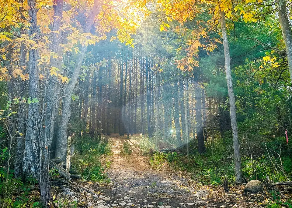
Wooded trail at Potter’s Creek North Conservation Area · Quinte Conservation 935 Moira Street West
Potter’s Creek North Conservation Area Distance About 7 km network
Surface Trail material not fully specified; uneven terrain
Setting woodland · meadow · orchard · wetland
Woodland paths, meadows and an old orchard offer a nature-focused outing near Belleville.
What to expect Forested sections Apple orchard and demonstration wetland Some steep, muddy or seasonally wet sections Access: Some routes are steep, rough or muddy. Choose one of the operator’s beginner routes for a gentler walk.
Trail details & getting there Choose a marked route from the map; 7 km is a network total, not one loop. Open sunrise to sunset; leash dogs and take waste home. Where to start Operator-listed north entrance — 935 Moira Street West, Belleville $8 per vehicle for daily parking; $14 for a bus or a vehicle with a trailer. Pay by credit or debit at the gate.
Directions lead to the listed park entrance. Follow the operator’s trail map and signs for your chosen route.
Official trail map Trail operator details Quinte Conservation · Checked 2026-10-22. Photos show the place or nearby setting; check captions. They do not show today’s conditions.
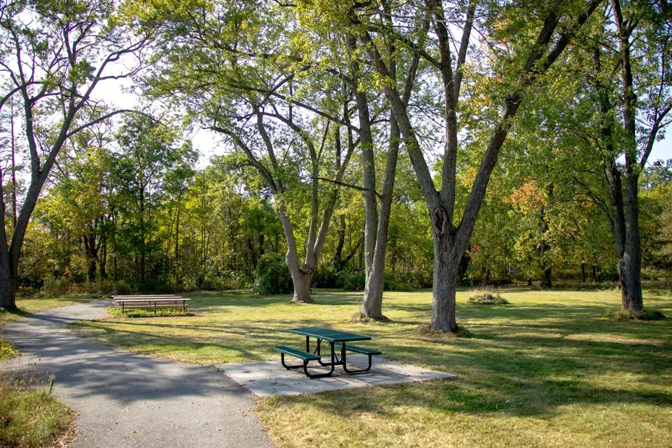
Path and picnic table at Potter’s Creek South Conservation Area · Quinte Conservation 2056 Old Highway 2
Potter’s Creek South Conservation Area Distance Short loop; length not published
Surface Paved loop
Setting waterfront · arboretum · meadow
A short paved loop beside the Bay of Quinte, with an arboretum, turtle pond and places to pause.
What to expect Bay shoreline Turtle pond Pollinator meadow and rain garden Access: Follow the paved loop for the smoothest route. Check entrance conditions with the operator.
Trail details & getting there Beginner route described as wide and relatively even. Parking, picnic tables, portable washroom and water access are listed. Where to start South conservation area entrance — 2056 Old Highway 2, Belleville $8 per vehicle for daily parking; $14 for a bus or a vehicle with a trailer. Pay by credit or debit at the gate.
Directions lead to the listed park entrance. Follow the operator’s trail map and signs for your chosen route.
Official trail map Trail operator details Quinte Conservation · Checked 2026-10-22. Photos show the place or nearby setting; check captions. They do not show today’s conditions.
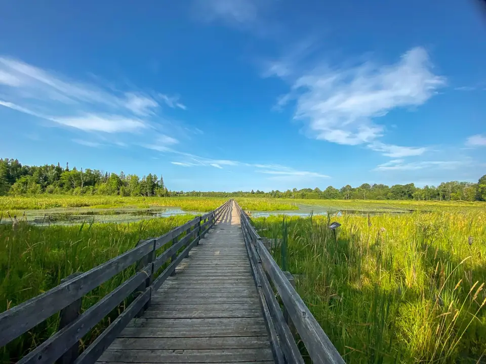
Boardwalk through the wetland at H.R. Frink Conservation Area · Quinte Conservation 381 and 384 Thrasher Road, Plainfield
H.R. Frink Conservation Area Distance About 10 km network
Surface Natural trails, boardwalk and gravel approach
Setting woodland · wetland · riverfront
Explore forest trails north of Thrasher Road or the wetland boardwalk and gravel approach on the south side.
What to expect Forested north-side trails Moira River and Parks Creek South-side Wetland Ecology Boardwalk Access: Approach the wetland boardwalk from the south parking lot along a gravel path. Forest trails elsewhere have natural footing.
Trail details & getting there Official map labels south-side boardwalks as 0.9 km. Open sunrise to sunset; more difficult routes have steep, rough or wet sections. Where to start South side: boardwalk approach — 384 Thrasher Road, Plainfield North side: forest trails — 381 Thrasher Road, Plainfield $8 per vehicle for daily parking; $14 for a bus or a vehicle with a trailer. Pay by credit or debit at the gate.
Directions lead to the listed park entrance. Follow the operator’s trail map and signs for your chosen route.
Official trail map Trail operator details Quinte Conservation · Checked 2026-10-22. Photos show the place or nearby setting; check captions. They do not show today’s conditions.