A little fresh air · Brighton
Trails & walks
Find a paved waterfront stroll, a walk under the trees or a boardwalk through the wetland.
6 trail guides. Check the operator for current closures before heading out.
Brighton
Presqu’ile Parkway Walking Trail
DistanceSee municipal trail guide
SurfacePaved asphalt
SettingWaterfront connection
A paved connection from Ontario Street’s boat launch toward the provincial-park gates.
Open the operator’s trail guideWhat to expect
Trail details & getting there
Choose the entrance for the section you want to explore.
Trail operator detailsMunicipality of Brighton · Checked 2026-10-25. Photos show the place or nearby setting; check captions. They do not show today’s conditions.
Brighton
Stalwood Trail Link
Distance900 m
SurfaceGravel and crushed limestone
SettingNeighbourhood link
A connecting path between Monck Street and Ontario Street.
Open the operator’s trail guideWhat to expect
- Walking, jogging and cycling.
Trail details & getting there
Choose the entrance for the section you want to explore.
Trail operator detailsMunicipality of Brighton · Checked 2026-10-25. Photos show the place or nearby setting; check captions. They do not show today’s conditions.
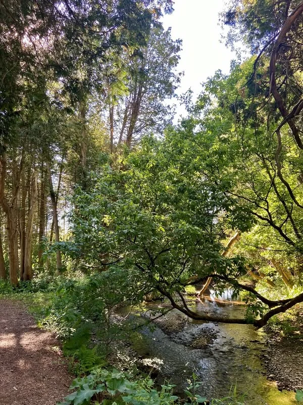 Tobey Trail / Butler Creek · municipal walking-trail profile · Municipality of Brighton
Brighton
Tobey Trail Link
Distance900 m
SurfaceWood chips
SettingWoodland
Follow Butler Creek through woodland between Cedar and Harbour streets.
What to expect
Trail details & getting there
- Brighton’s first municipal nature trail.
Choose the entrance for the section you want to explore.
Trail operator detailsMunicipality of Brighton · Checked 2026-10-25. Photos show the place or nearby setting; check captions. They do not show today’s conditions.
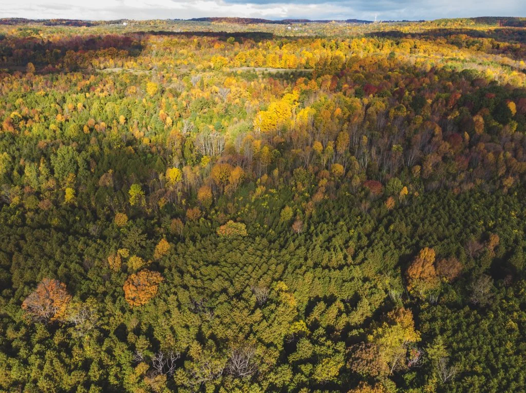 Proctor Park Conservation Area · aerial view of the woodland · Conservation Ontario / Lower Trent Conservation
Brighton
Proctor Park Conservation Area
DistanceApprox. 3 km of trails
SurfaceNatural woodland trails
SettingWoodland and creek
Explore creekside lowlands and climb toward hardwood woodland.
What to expect
- Butler Creek and cedar lowlands.
- Hills and a view toward Presqu’ile Bay.
Access: Check trail conditions and grade before choosing a route.
Trail details & getting there
- Operator rates terrain easy to difficult.
- The source’s narrative describes a 2.5 km route; its trail summary lists about 3 km overall.
Choose the entrance for the section you want to explore.
Trail operator detailsLower Trent Conservation · Checked 2026-10-25. Photos show the place or nearby setting; check captions. They do not show today’s conditions.
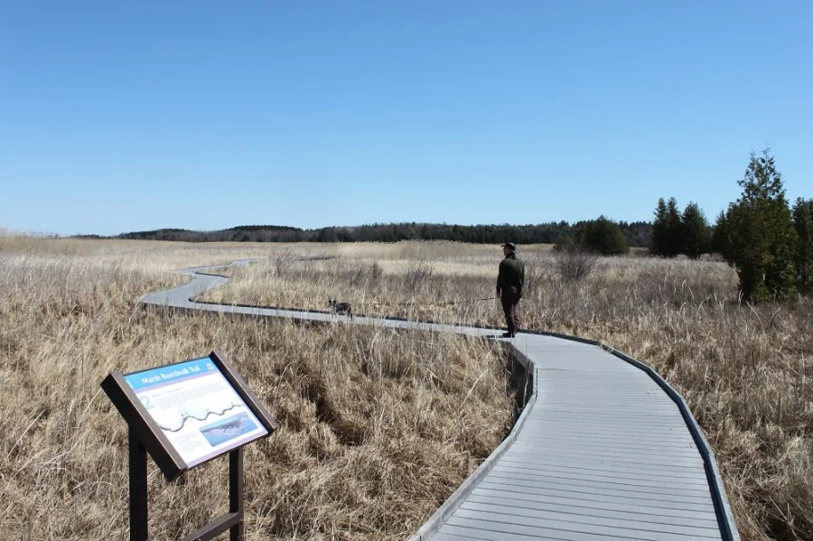 Presqu’ile Marsh Trail boardwalk · Ontario Parks
Presqu’ile Provincial Park
Presqu’ile Marsh Trail
Distance1.2 km loop
SurfaceBoardwalk and trail
SettingMarsh
An easy loop with boardwalk sections extending into the marsh.
What to expect
- Two viewing towers.
- Interpretive panels.
Access: The 800 m boardwalk portion is barrier-free; this does not describe every park trail.
Trail details & getting there
- Operator estimate: 30 minutes.
- Check current park alerts, construction and access restrictions.
Choose the entrance for the section you want to explore.
Trail operator detailsOntario Parks · Checked 2026-10-25. Photos show the place or nearby setting; check captions. They do not show today’s conditions.
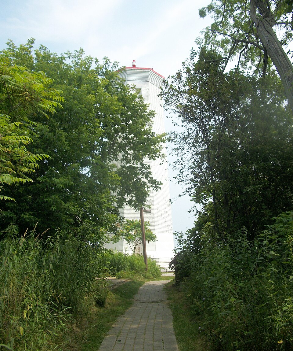 Presqu’ile lighthouse approach · DavidR.York · CC BY-SA 4.0 · DavidR.York · CC BY-SA 4.0 · displayed cropped
Presqu’ile Provincial Park
Presqu’ile Lighthouse Foot Path
Distance300 m loop
SurfaceFootpath
SettingLakeshore
A short interpretive walk between the centre and lighthouse.
What to expect
- Views across Lake Ontario and Presqu’ile Bay.
Trail details & getting there
- Operator estimate: 20 minutes.
- Check current park alerts before travelling.
Choose the entrance for the section you want to explore.
Trail operator detailsOntario Parks · Checked 2026-10-25. Photos show the place or nearby setting; check captions. They do not show today’s conditions.
